CEDAR CREEK

CEDAR CREEK |
|
Project Name: Cedar Creek Bank Protection
Client/Project Owner: California State Department of Transportation (Caltrans)
Project Designer: Caltrans
Technique(s) Demonstrated: Bendway Weirs, Vegetated Riprap, Live Staking and Willow Posts and Poles
Geographical Location: Shasta County, Highway 299E, 5.3 km west of Buzzard Roost Road
Geomorphic Setting: Cedar Creek is a headwater creek in the Little Cow Creek sub-basin of Cow Creek watershed. The Little Cow Creek sub-basin drains approximately 383 km2 (148 miles2) of the 1,114 km2 (430 mile2) Cow Creek watershed. Cedar Creek drains approximately 50 km2 (19.1 miles2) and has elevations ranging from 425 m (1,400 ft) to 1,980 m (6,500 ft).
Performance Period: Construction occurred from July through October of 2002.
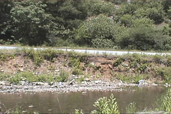
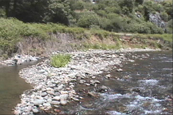
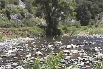
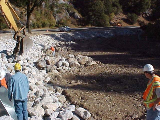
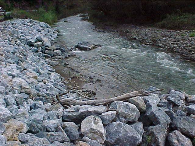
Project Description: This project was designed to protect the banks of Cedar Creek, and prevent erosion of the roadbed of Highway 299. Scour was occurring on an outer bend of Cedar Creek, which was causing serious erosion that had the potential to impact Highway 299. Riprap was used to protect the bank, and nine bendway weirs were used to redirect flow away from the sensitive bank. Live stakes were installed at the toe, and willow posts were planted into and around all structures.
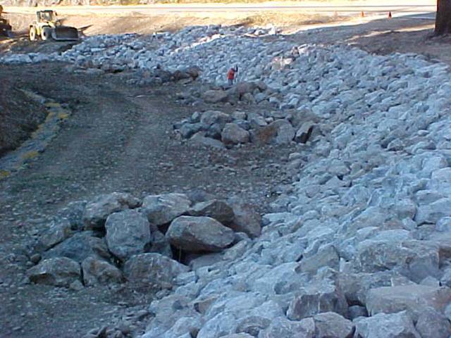
Appropriate erosion and runoff control measures were installed on site before work began. The eroding bank was laid back, and a 1.5 m (5 ft) wide toe trench was excavated. A 230 mm (9 in) layer of Number 3 backing class rock was laid as a granular filter layer, and a layer of small rock was laid over that. Larger rocks were subsequently dumped on the slope and spread in layers by a bulldozer. The largest rocks were placed in the toe trench and on the outer surface of the riprap. Rocks were placed in a way that minimized voids, and irregularities in the riprap slope were limited to less than 30 cm (12 in). The final slope of the riprap protected bank varied from 1V:0.9H to 1V:2.4H.
The bendway weirs were keyed into the bank and angled upstream into the flow, 64° - 70°, to direct the flow away from the eroding bank.
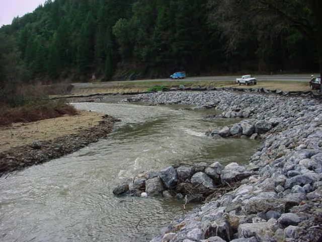
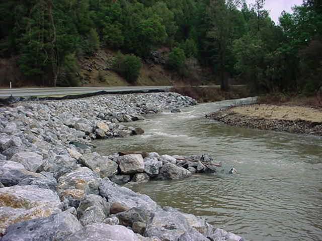
The bendway weirs were constructed in a trapezoidal configuration, approximately 4 meters (13 ft) wide at their base, and narrowing toward the tips. The side slopes of the weirs were approximately 1V:0.5H, and they sloped 2% from the bank down to the tips. Construction of the weirs involved placing smaller rock as the base for the structure, and then placing larger stone for the bulk of the weir. In total, nine bendway weirs were constructed, with the upstream weirs pointing at a 64° angle from oncoming flow, and downstream weirs pointing at a 70° angle to flow, as the downstream weirs were directing flows out of the bend. The weirs were designed to be overtopped by a 10-year interval storm (approximately 60 m3 /sec (2,100 ft3/sec)), and were overtopped several times during the winter of 2002/2003, during which flows were estimated at 85 m3 /sec (3,000 ft3/sec).
Live willow poles were planted into the riprap and bendway weirs during construction. 2 m (6.5 ft) long willow poles were installed in bundles of two, intermittently in the riprap at 2 m (6.5 ft) on center, 2 meters (6.5 ft) from the toe of the riprap blanket. Live stakes were also installed prior to construction at the bank end of each bendway weir. Approximately 30 cm (12 in) of each willow pole, and approximately 10 cm (4 in) of each stake was left above ground.
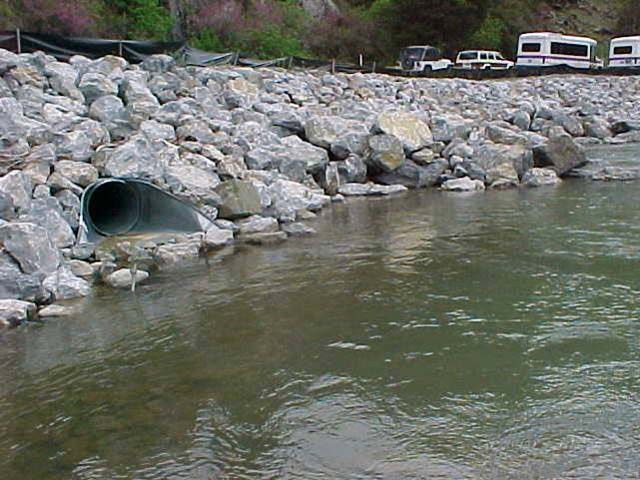
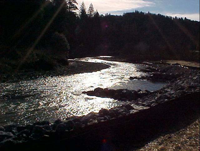
Photo Documentation:
|
|
|
|
|
|
|
|
|
|
|
|
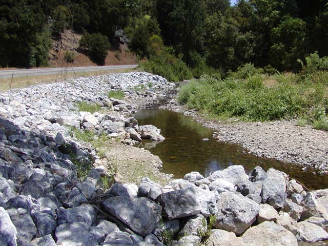
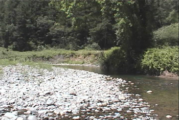
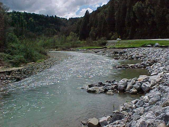
Project site in July, 2003.
Thalweg has moved to the tip of the bendway weirs,
and willows are starting to grow.